
Site Data
Falkirk Bo'ness
Latest Data: Updated 29/07/2026 05:00 GMT
| Pollutant | Index | Band | Concentration | Period |
|---|---|---|---|---|
| PM2.5 | 1 | LOW | 2 µg/m3 (Ref.eq) | 24 Hour mean |
| PM10 | 1 | LOW | 4 µg/m3 (FIDAS) | 24 Hour mean |
| SO2 | 1 | LOW | 1 µg/m3 | 15 Minute mean |
| PM1 | No Data | 1 µg/m3 (FIDAS) | 24 Hour mean | |
Mouse-over the graph to access further tools to analysis the data.
| Parameter | Parameter Name |
|---|---|
| SO2 | Sulphur dioxide |
| PM10 | PM10 particulate matter (Hourly measured) |
| PM2.5 | PM2.5 particulate matter (Hourly measured) |
| PM1 | PM1 particulate matter (Hourly measured) |
Statistics for Falkirk Bo'ness
| Site Name | Falkirk Bo'ness |
|---|---|
| Site Type | Urban industrial |
| Easting, Northing | 299815.0, 681483.6 |
| Latitude, Longitude | 56.015766, -3.608622 |
| OS Grid Ref | |
| Address | |
| Site Comments | Site is situated next to Bo'ness Town Hall within Glebe Park. |
| Monitoring Network: Scottish Automatic Urban Network | ||
|---|---|---|
| Parameter | Date Started | Date Ended |
| Modelled Temperature | 07/04/2016 | |
| PM10 particulate matter (Hourly measured) | 17/10/2024 | |
| Modelled Wind Speed | 07/04/2016 | |
| PM2.5 particulate matter (Hourly measured) | 17/10/2024 | |
| Modelled Wind Direction | 07/04/2016 | |
| Sulphur dioxide | 07/04/2016 | |
| PM1 particulate matter (Hourly measured) | 17/10/2024 | |
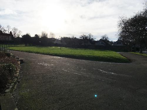
The photographs show the site itself, and views looking North, East, South and West.
-
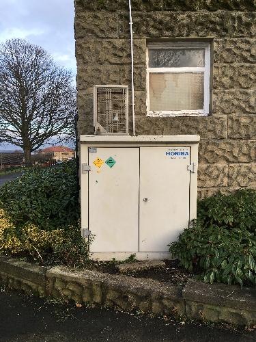
Monitoring Site Photo
-
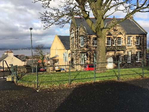
View North
-

View East
-
View South
-
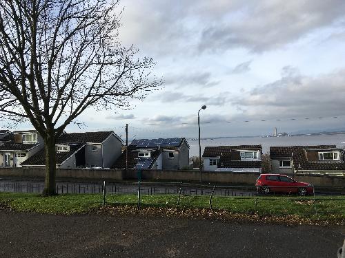
View West